In This Guide
What the Silverado Trail Is
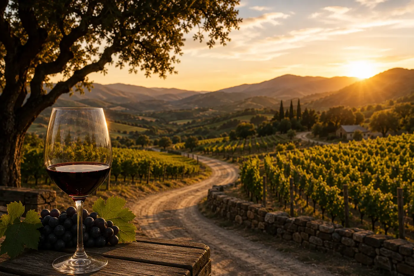
Ask a Napa local how to get from the town of Napa to Calistoga on a Saturday afternoon and they will not say Highway 29. They will say the Silverado Trail: a two-lane road of roughly 29 miles that runs the eastern edge of the valley, hugging the base of the Vaca Range from Napa all the way north to Calistoga. It parallels Highway 29 the entire way, but where the highway strings together stoplights, tasting-room towns, and weekend traffic, the trail rolls past vineyards, stone wineries, and cyclists with barely a stop sign to its name.
It is also one of the great winery addresses in American wine. The Stags Leap District, home of the Cabernet that beat Bordeaux in 1976, sits directly on the trail. So do cult estates, family barns, and some of the valley's most beautiful drives. But before any of that, the Silverado Trail had a first life that most visitors sipping Cabernet along it never hear about.
From Back Road to Wine Road: The History
The road itself dates to 1852, when it was cut as "the old back road" connecting Napa to Calistoga - a practical route up the valley's east side years before wine defined the region. What put it on the map was not grapes but silver. Around 1858 a silver rush hit the hills at the north end of the valley, and a mining boomtown called Silverado City sprang up near the summit of Mount Saint Helena. The rush ran hot through the mid-1870s and then collapsed, leaving Silverado City to empty out as quickly as it had filled. One of the era's better business stories belongs to a Mr. Patchett, who skipped the mines entirely and got rich selling wine pressed on a cider press to the thirsty miners instead.
The ghost town got its second act in 1880, when a newlywed Scottish writer named Robert Louis Stevenson spent his honeymoon squatting in the abandoned mining camp. His memoir of that summer, The Silverado Squatters, gave the old back road the name that stuck. The designation became official in 1921, and the Silverado Trail has carried Stevenson's borrowed silver ever since.
The wine era was building alongside all of it. Some of Napa Valley's earliest wine caves were dug entirely by hand by Chinese laborers, the same workforce that built the valley's railroad in 1869. And it is worth remembering that wine was not inevitable here: before Cabernet conquered the valley, this was orchard country. By 1909 Napa Valley held over 500,000 fruit and nut trees, mostly pears, figs, and walnuts. The vineyards you drive past on the trail today replaced a sea of orchards within living memory of the road's naming.
Driving the Trail Today, South to North
Start at the southern end near the town of Napa and the first stretch belongs to the Oak Knoll side of the valley: Darioush's Persian-inspired columns, Black Stallion's estate on the old equestrian center grounds, Signorello rebuilt above the road, and Luna near the trail's southern gateway.
A few minutes north the road enters the Stags Leap District, the trail's most storied stretch. Stag's Leap Wine Cellars, Shafer, Chimney Rock, Clos Du Val, Silverado Vineyards, Regusci, Odette, Quixote, and Baldacci all sit within a couple of miles of each other beneath the Stags Leap Palisades. This is where the 1976 Judgment of Paris winner was grown, and the district's Cabernets remain the reference point for the valley's east side.
Mid-valley, the trail passes Paraduxx near Yountville before reaching the Rutherford and Oakville crossroads, where Quintessa's crescent winery, Rutherford Ranch, ZD Wines, Mumm Napa's sparkling house, and Miner Family line the road. North of St. Helena come Rombauer's hillside gardens, Casa Nuestra's members-only farm, and Hunnicutt's caves, and the final Calistoga miles finish with Venge, Davis Estates, Aubert, and the dog-friendly barn at Lava Vine before the trail ends at Lincoln Avenue in downtown Calistoga.
Two practical notes. Most trail wineries are appointment-based rather than walk-in, so book ahead and let the quieter road be the reward. And the trail is a popular cycling route year-round: give riders room on the curves.
Every Silverado Trail Winery in Our Catalog
These 62 wineries carry a Silverado Trail street address in the Wino Notion catalog. Numbering restarts in each town along the road, so use the map on each winery page rather than the street number to judge distance.
Plan the drive: build a trail day with our trip planner, browse the full valley in the winery finder, or start with the Napa Valley region guide.
First trip to the valley? Read 7 Mistakes First-Time Napa Visitors Make before you book anything.
Frequently Asked Questions
About 29 miles, running the eastern side of Napa Valley from the town of Napa north to Calistoga. With no stops it is a 40 to 45 minute drive, but with tastings a single stretch of the trail can comfortably fill a day.
The name comes from Silverado City, a short-lived silver mining boomtown near Mount Saint Helena at the road's north end, made famous when Robert Louis Stevenson honeymooned in its ruins in 1880 and wrote The Silverado Squatters. The road began in 1852 as "the old back road" and took its official name in 1921.
They are different trips. The trail is quieter, faster, and lined with appointment-based estates; Highway 29 runs through the walk-in tasting towns of Yountville, St. Helena, and Calistoga. Many visitors drive up one and back down the other.